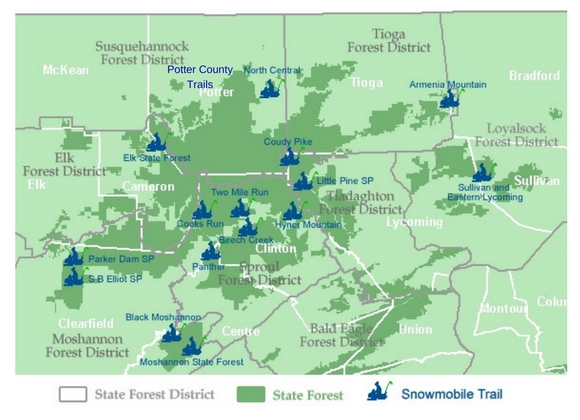
Details: For details on the Forest, and its 97 miles of snowmobile trail, visit the DCNR website for the Elk State Forest. Snow conditions may be found at: https://www.apps.dcnr.state.pa.us/forestry/snowmobileiframe/northcentral.aspx Grooming/Joint Use Roads: DCNR reports that Elk Forest District 13 encompasses 70.4 miles of joint use roads as part of two snowmobile trail systems located within the […]
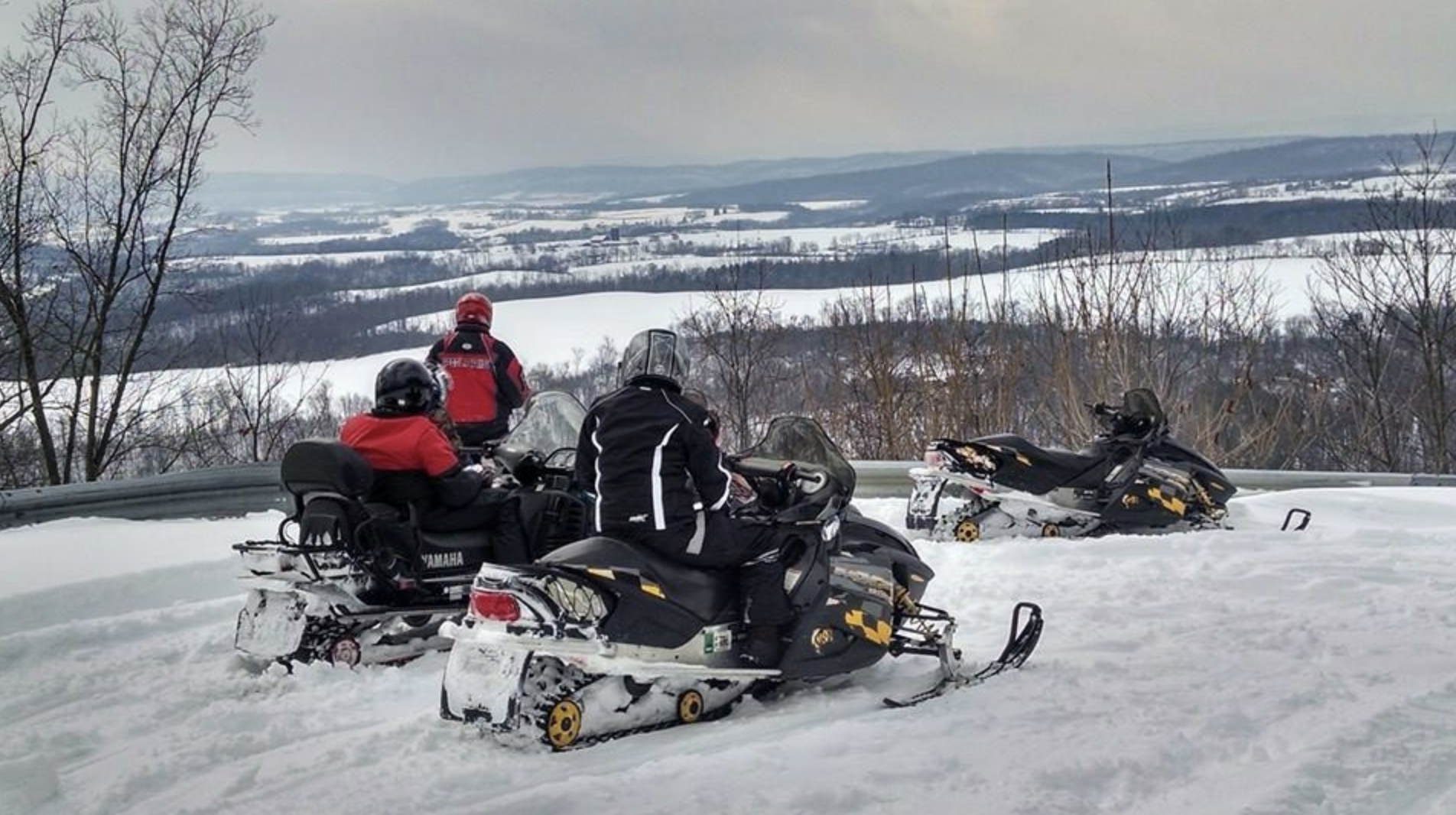
Northcentral Mountains
Click on the snowmobiler to pull up the map and download a printable copy. Trails are listed alphabetically below.
Hyner Mountain
Details: The trail head for the 64 mile trail is located in Hyner Run State Park running through Sproul State Forest in North Central Pennsylvania. See Other Trail Info Here Location: The Hyner Mountain Trail is located in Clinton County, near the center of the 12 county region (1.5 million acres of State Forest and Game […]
Little Pine
Details: For details on the Park, and the Tiadaghton State Forest’s 289 miles of snowmobile trail, visit the DNCR page for Tiadaghton State Forest. Snow conditions may be found at http://www.apps.dcnr.state.pa.us/forestry/snowmobile/northcentral.aspx Grooming/Joint Use Roads: Tiadaghton State Forest District 12, encompasses 185.2 miles of joint use roads, though presently none are listed to be plowed for timber […]
Moshannon State Forest
Details: For details on the Forest, and its 168 miles of snowmobile trail, visit the Moshannon state forest page. Snow conditions may be found at http://www.apps.dcnr.state.pa.us/forestry/snowmobile/northcentral.aspx Grooming/Joint Use Roads: Moshannon State Forest District 9, encompasses 177.8 miles of joint use roads, with the following currently scheduled for possible plowing due to gas or timber operations: Benner Rd […]
North Central
Details: Snow conditions may be found at http://www.apps.dcnr.state.pa.us/forestry/snowmobile/northcentral.aspx Grooming/Joint Use Roads: Susquehannock State Forest District 15 encompasses 145.8 miles of joint use roads, with the following currently scheduled for possible plowing due to gas or timber operations: Bailey Run Road Gaswell Road Hungry Hollow Joerg Road Junction Road Little Moores Run Road Long Run Trail Marvin Run […]