Details: The Panther trail is located within the Sproul State Forest. Snow conditions may be found at http://www.apps.dcnr.state.pa.us/forestry/snowmobile/northcentral.aspx Grooming/Joint Use Roads: Sproul State Forest, District 10, encompasses 310.4 miles of joint use roads. DCNR advises that the some roads may be plowed to accommodate gas & timber operations. See Trail Info Here Location: The Panther Trail is located in Sproul […]
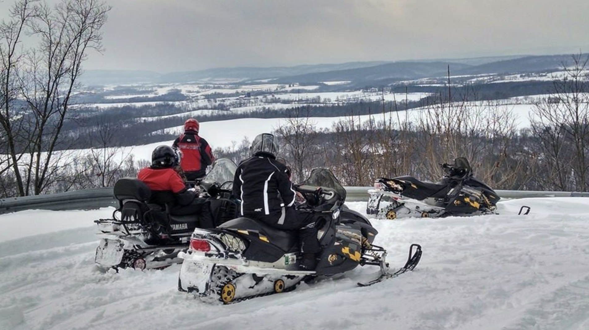
Northcentral Mountains
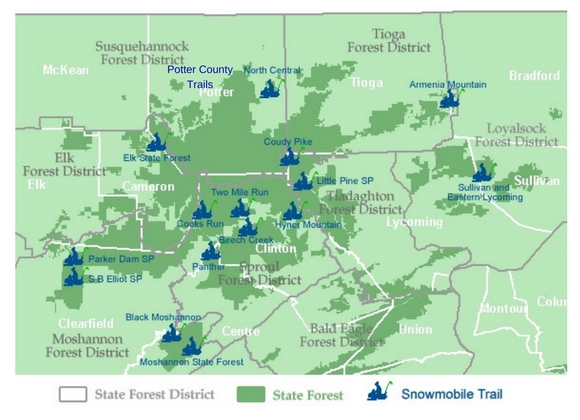
Click on the snowmobiler to pull up the map and download a printable copy. Trails are listed alphabetically below.
Parker Dam
Details: For details on the Forest, visit the DCNR Moshannon page. Snow conditions may be found at http://www.apps.dcnr.state.pa.us/forestry/snowmobile/northcentral.aspx Grooming/Joint Use Roads: Moshannon State Forest, District 9, encompasses 177.8 miles of joint use roads. This season DCNR advises that within the Forest, the following roads may be plowed to accommodate timber and gas operations: Benner Rd Buskirk […]
Potter County Trails
Details: Snow conditions may be found at Trail Conditions.com Grooming/Joint Use Roads: Potter County encompasses 145.8 miles of joint use roads, with the following currently scheduled for possible plowing due to gas or timber operations: Bailey Run Road Gaswell Road Hungry Hollow Joerg Road Junction Road Little Moores Run Road Long Run Trail Marvin Run Road McConnell Road […]
SB Elliott
Details: For details on the Forest, and its 168 miles of snowmobile trail, visit the DCNR page for Moshannon State park. Park information may be found at the DCNR Page for SB Elliott State park. And snow conditions at http://www.dcnr.state.pa.us/forestry/snowmobile/northcentral.aspxGrooming/Joint Use Roads: Moshannon State Forest District 9, encompasses 177.8 miles of joint use roads with some scheduled […]
Sullivan and East Lycoming
Details: For details on the Forest, and its 121 miles of snowmobile trail, visit the DCNR page for Loyalsock State park. Snow conditions may be found at http://www.dcnr.state.pa.us/forestry/snowmobile/northcentral.aspx. Grooming/Joint Use Roads: Loyalsock State Forest District 20, encompasses 115 miles of joint use roads, with the following currently scheduled for possible plowing due to gas or […]